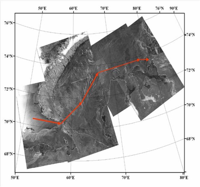
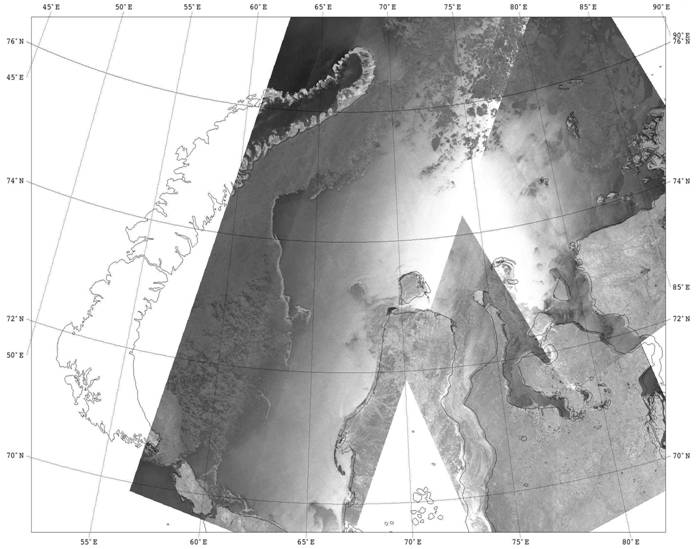
Nansen Center carries out field studies related to the collection of ground truth data to validate the model calculations and the development of methods for the analysis of satellite images, as well as to demonstrate the capabilities of remote sensing data for pilotage on the Northern Sea Route.
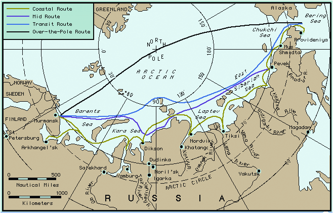
Providing navigation along the Northern Sea Route, and other ice-covered seas based on the monitoring and forecasting of sea ice using satellite data and numerical models.